Seventh official storm of the year hits the Netherlands; Second in ten days
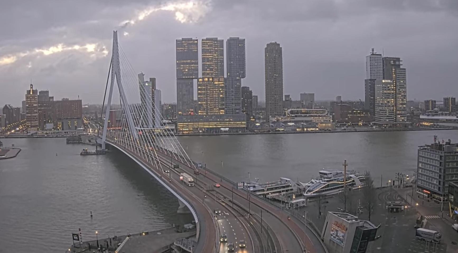
The Netherlands is facing its eighth official storm of 2024, with severe winds battering the country and causing widespread disruptions. Schiphol Airport, rail operators, and highway authorities have reported significant impacts as the entire nation, except for Limburg and Noord-Brabant, is under a code yellow weather warning.
According to weather service Weeronline, the first winter storm of the 2024-2025 season was officially designated early Friday morning, marking the seventh storm of the year. At Vlieland, average wind speeds reached force 9 on the Beaufort Scale between 6 a.m. and 7 a.m., meeting the criteria for an official storm. Wind gusts in the northwestern coastal areas exceeded 100 kilometers per hour, with the highest gust recorded at 108 kilometers per hour at Vlieland.
“The strong gusts of wind will come from the west to northwest and will reach speeds of 75-90 km/h, possibly 90-100 km/h along the coast, and possibly 100-120 km/h on the Wadden Sea,” said meteorological service KNMI.
Weeronline highlighted that this is the first winter storm of the 2024-2025 season but the seventh storm overall in 2024. The previous storm, Conall, hit in late November, bringing wind speeds of 128 kilometers per hour and severe disruptions in northern regions.
The 2023-2024 winter season recorded four storms, including Storm Pia in December 2023 and Storm Jocelyn in January 2024. In contrast, the 2022-2023 winter season was calm, with no storms recorded—a rarity not seen since 1933.
While this storm has not yet reached "severe storm" status, conditions are expected to remain challenging through Friday, with wind gusts of up to 120 kilometers per hour. Weeronline noted that Saturday will also see strong winds, particularly along the Zeeland coast, but no additional storms are expected.
Schiphol Airport, one of Europe’s busiest travel hubs, reported the cancellation of over 100 flights as of Friday morning. A spokesperson for the airport said delays and cancellations are expected to persist into the afternoon.
“Travelers flying today should prepare for delays and cancellations for both departing and arriving flights,” the spokesperson said. “The exact number of further disruptions will depend on weather developments.”
Passengers were advised to check real-time flight information or contact their airlines before traveling to the airport.
The storm has also caused significant disruption to the country’s rail network. ProRail, the national rail infrastructure operator, reported fallen trees and debris blocking tracks in multiple locations. “Strong winds have led to widespread issues, making it impossible to run full schedules in some areas,” ProRail said.
Train services around Almere were heavily affected, with a tree on the tracks forcing trains to share a single line. This caused extensive delays in cities such as Hilversum, Duivendrecht, and Weesp.
Drivers also faced treacherous conditions. Rijkswaterstaat, the national highway authority, warned that high-sided vehicles, empty trucks, and trailers were at risk on bridges and viaducts. “Be extra cautious during this morning’s rush hour,” Rijkswaterstaat advised on X, formerly Twitter.


