
Tropical wave set to hit Aruba, Bonaire, and Curaçao later today
A strong storm developing in the Caribbean Sea is expected to strike Aruba, Bonaire, and Curaçao on Thursday night. According to the U.S. National Hurricane Center, the storm has a 70 percent chance of developing into a tropical depression, a tropical storm, or a hurricane by Saturday afternoon, and a 90 percent chance of becoming one of the strong cyclone storm formations by Tuesday.
The as-yet unnamed storm, officially called a tropical wave, will bring showers and thunderstorms to parts of the southeastern Caribbean Sea. “Regardless of development, locally heavy rainfall and gusty winds are likely to affect the Windward Islands, northern Venezuela, and the ABC island chain today. These impacts are likely to spread to northeastern Colombia later this evening,” the National Hurricane Center said on Thursday evening (Central European Summer Time).
The Meteorological Department Curaçao predicted highs of 29 degrees Celsius with moderate to heavy rainfall at least through Friday morning that can cause localized flooding. During the heaviest showers, sustained gale force winds of up to 61 km/h were expected, the organization said. Sea conditions will likely deteriorate during the tropical wave. The rocky weather could continue into the afternoon, local time.
“Although upper-level winds are currently inhibiting development, the environment is forecast to gradually become more favorable in a couple of days, and a tropical depression is likely to form at that time. The disturbance is forecast to move west-northwestward across the eastern Caribbean Sea during the next day or two, and be over the central Caribbean Sea this weekend,” the U.S. weather office wrote.
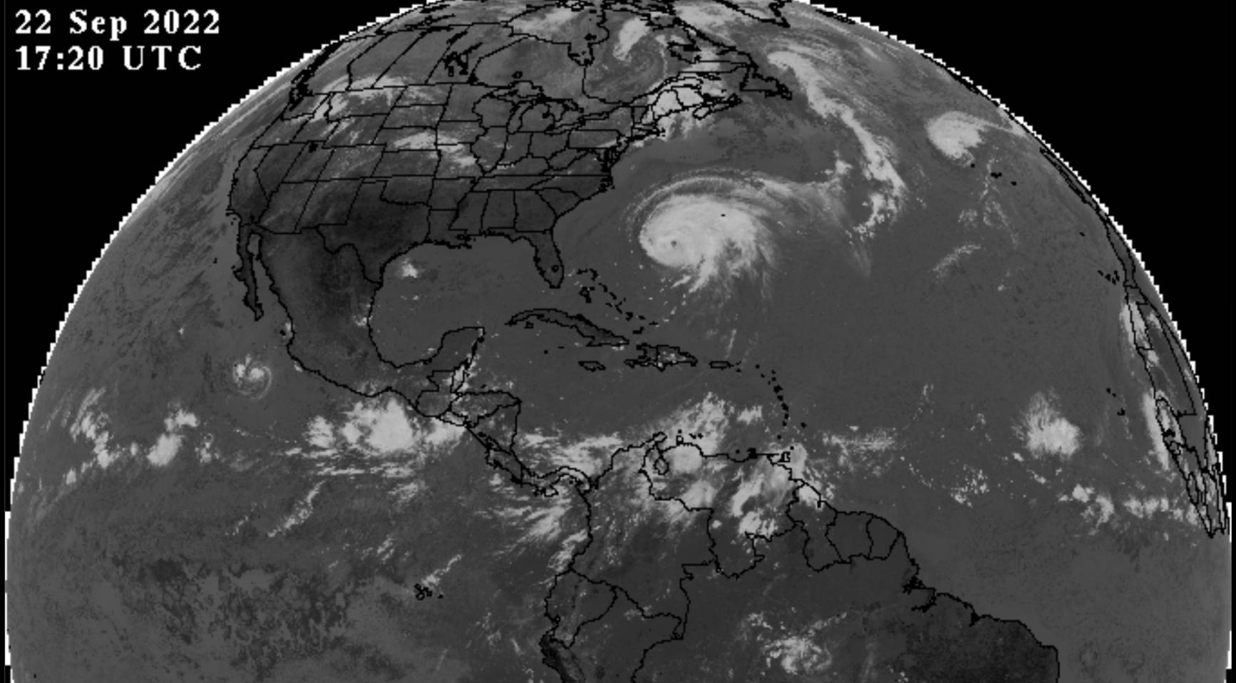
Aside from the tropical wave, the National Hurricane Center is also tracking Hurricane Fiona, a few hundred miles southwest of Bermuda, and Tropical Storm Gaston, several hundred miles west-southwest of the Azores. Some Dutch media outlets mistook the latter for the tropical wave due to hit the ABC islands on Thursday.
Weather Forecast for Curaçao and surroundings valid until Friday morning 06:00l.t., September 22, 2022. Issued: Thursday September 22, 2022 05:00 l.t. (09:00 UTC). Weather: Cloudiness will progressively increase with moderate to heavy rainfallover the next 24 hours. Heavier shower will be accompanied by thunderstormactivity.Forecast high will be 29ºC, and the low will be 23ºC.Sunrise will occur at 06:25 and sunset at 18:32 l.t. Winds: Variably and light to moderate; force 2 to 4 (7 to 30 km/h, 4 to 16knots). In and around heavier showers, strong to near gale in gusts; force 6 to7 (40 to 61 km/h, 22 to 33 knots). Synopsis: An active tropical wave is crossing over the southeastern CaribbeanSea bringing unsettled weather over the island and around it over the greatestpart of the day. First effects of this tropical system will reach Curaçao inthe coming 4 hours and will be present through Friday afternoon. Analysis ofthis tropical disturbance shows a large area of disorganized showers andthunderstorm activity as this storm moves west in the direction of Curaçao.Moderate to heavy rainfall is expected on various parts of the island, whichwill result in localized flooding in areas vulnerable to excessiveprecipitation. Furthermore, winds will have a north to northerly component ontoday an will become west to southwesterly by Friday. Sea conditions: Slight to moderate with wave heights between 0.5 and 1.5 meter(2 to 5 feet). During and after passage of the disturbance, sea conditions willdeteriorate due to swells. Significant tropical weather systems: An active tropical wave with related areaof low pressure over the southeastern Caribbean Sea is expected to cross ourterritory by midnight. This system will continue to move west over the Caribbeanbasin and is to intensify in the a strong tropical cyclone if it continues onits projected path into the Gulf of Mexico. Another tropical system, hurricaneFiona was moving north over the southwestern North Atlantic and is not a threatto the islands in the Caribbean. Special features: None. Outlook until Saturday morning: Cloudiness will gradually decrease alongshowers. Winds will become from an easterly direction once again.
Posted by Meteorological Department Curacao on Thursday, September 22, 2022